
GIS Analyst | GIS & Cartography Graduate Student | City of Atlanta GIS Intern
Applying GIS, cartography, remote sensing, and spatial analytics to transportation, public safety, environmental, and infrastructure challenges through data-driven decision support.
I am a GIS and cartography graduate student based in Jacksonville, Alabama, with applied experience in public-sector GIS, spatial analysis, remote sensing, environmental mapping, and dashboard development. Through my current internship with the City of Atlanta Department of City Planning, I am gaining hands-on experience supporting real-world planning and geospatial data projects, including the development of an ACRB Allegations Dashboard for visualizing complaint records, geographic patterns, and public-sector decision-support information.
What I Do
I apply GIS and spatial analysis techniques to real-world problems in environmental monitoring, transportation, public safety, infrastructure, and field data collection. My work focuses on transforming spatial data into clear maps, dashboards, and decision-support tools that help organizations understand patterns, monitor issues, and make informed planning decisions.

Professional Experience
City of Atlanta - Department of City Planning
GIS Intern
Highlights
- Developed and deployed an interactive public safety dashboard for Atlanta's Citizen Review Board (ACRB).
- Processed and standardized 10+ years of complaint and allegation records.
- Built interactive ArcGIS Online dashboards supporting spatial analysis and executive reporting.
- Integrated Council District and Police Precinct Zone analytics for geographic trend evaluation.
- Designed map symbology, legends, filters, and dashboard workflows to improve stakeholder usability.
- Supported data quality assurance, geocoding, and spatial visualization efforts.
My Skills
Specializing in GIS and spatial analysis, my technical capabilities cover a broad spectrum, including remote sensing, field data acquisition, and environmental mapping. Each project exemplifies my dedication to accuracy and practical solutions.

Remote Sensing
Expertise in acquiring and processing satellite and aerial imagery for environmental analysis and land use mapping.
Tools: Landsat, Sentinel-2, NDVI, ArcGIS Pro

Field Data
Proficient in collecting and managing precise field data for GIS integration and spatial modeling.
Tools: GPS data collection, Survey123, ArcGIS Field Maps, ArcGIS Workforce, ArcGIS Navigator, and ArcGIS QuickCapture

Environmental Mapping
Skilled in creating detailed environmental and safety maps for risk assessment and compliance.
Tools: Hazard mapping, land-use analysis, risk visualization, Trimble and TerraFlex, point cloud

Spatial Analysis
Adept at spatial data analysis and modeling to uncover patterns and inform decision-making.
Tools: Buffering, overlay, suitability analysis, raster analysis

ArcGIS Field Maps
Creation and making use of GIS field maps to get work done.
Tools: ArcGIS Pro layouts, map symbology, and field-ready maps
About me
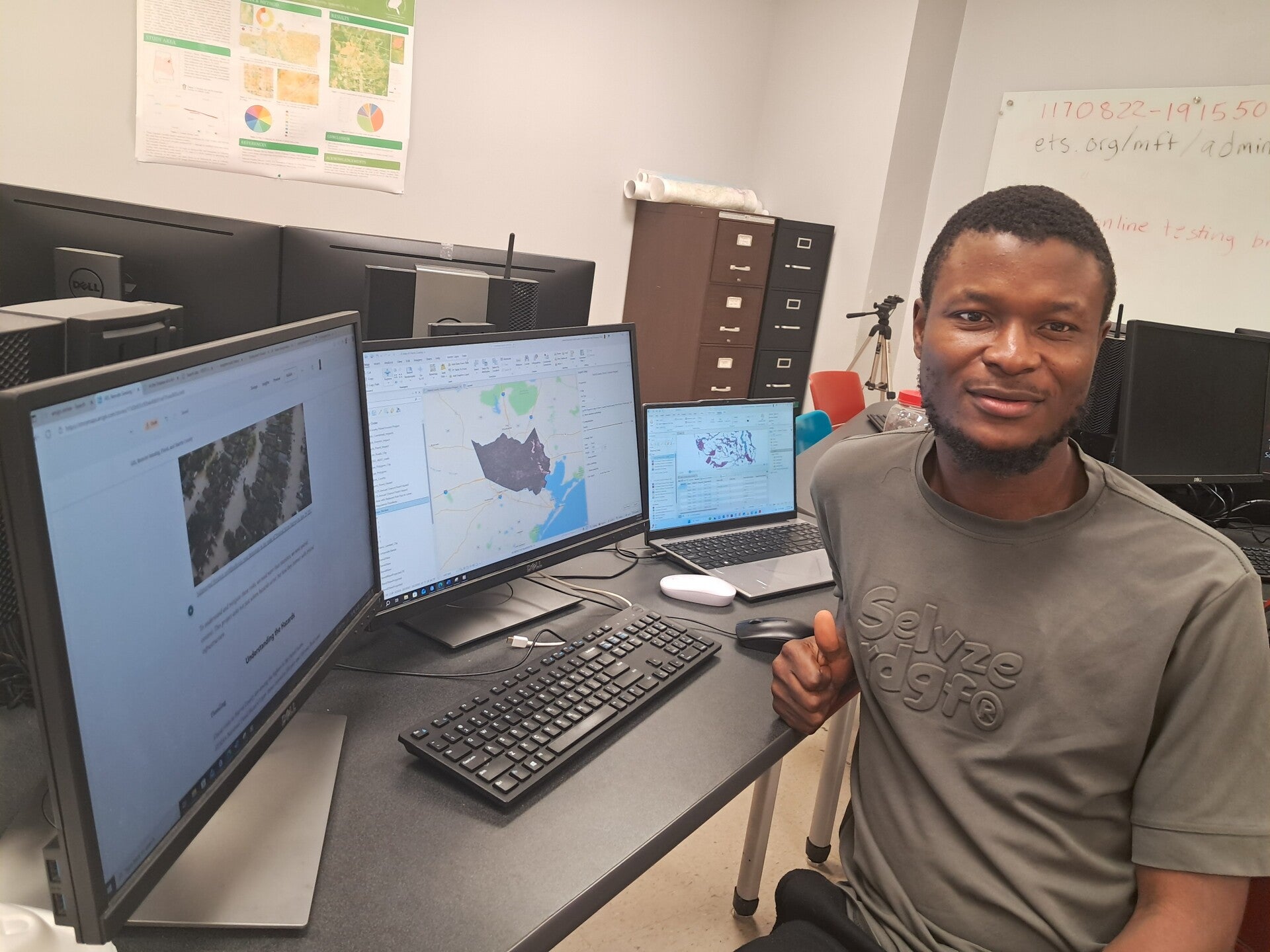
I am a GIS graduate student based in Jacksonville, Alabama, with a strong interest in spatial analysis, remote sensing, and environmental mapping. My academic and applied projects focus on using geospatial tools to support safety, infrastructure, and environmental decision-making. I enjoy working with real data, learning new GIS workflows, and collaborating on applied projects.
GIS Projects & Applied Spatial Work
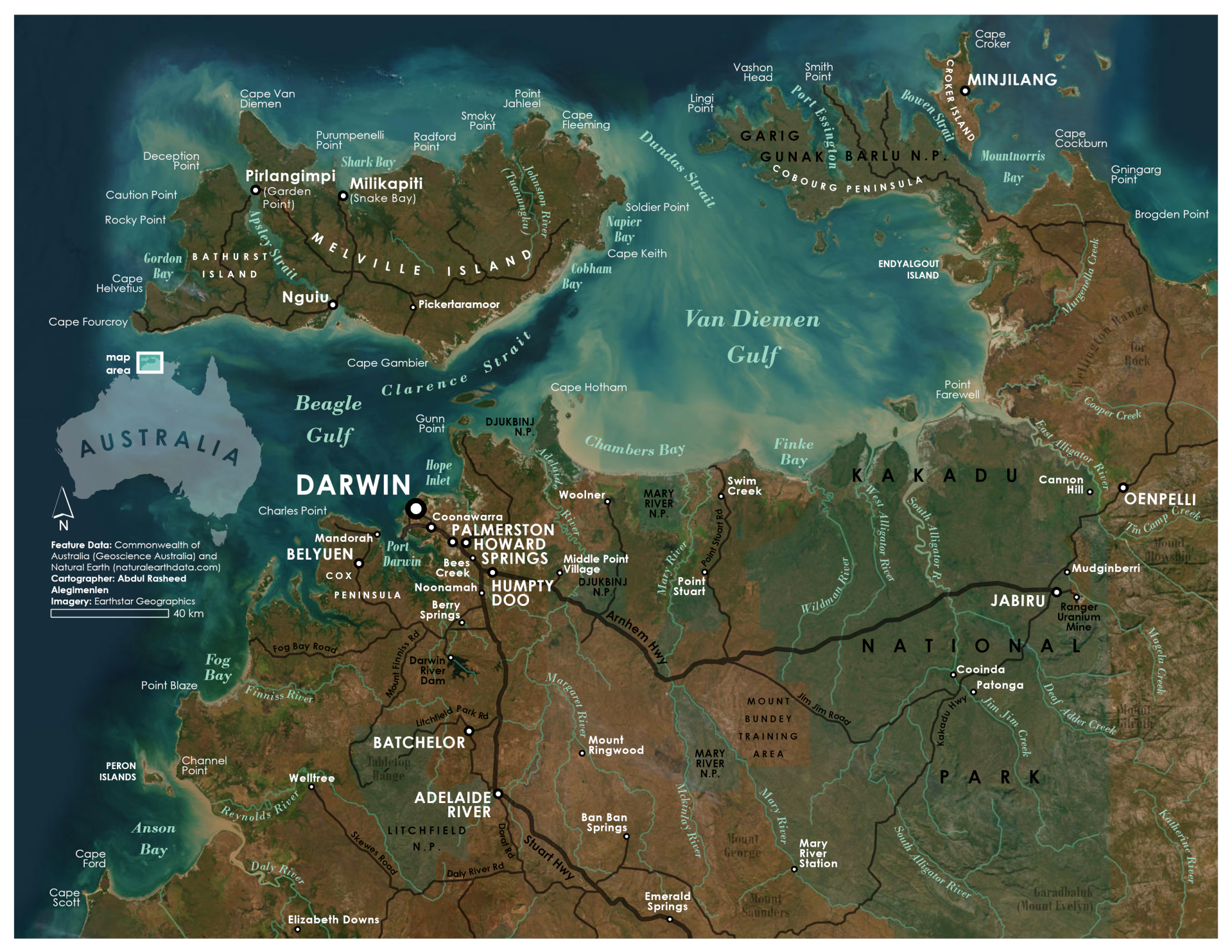
Explore my portfolio to discover the geospatial projects I've developed. From remote sensing analysis to environmental mapping, each project exemplifies my skills and passion for creating effective, data-driven solutions.
Contact for GIS Opportunities
Feel free to reach out regarding GIS opportunities, professional networking, academic collaboration, or project discussions.
Location
Jacksonville, Alabama, United States
Create Your Own Website With Webador